
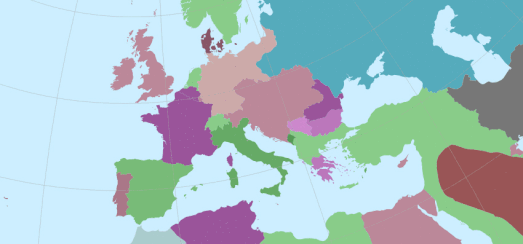
The animated map above shows the changing borders of Europe, the Middle East and North Africa during the Twentieth Century. It is a a pretty good illustration of how geo-political developments demand frequently updated maps.
I created this animated map using Mundipedia. Munipedia is an interactive map which shows country borders for different dates in history. Enter a date into Munipedia and you can view how the world looked in that year. For example enter the year 1984 and you will see a divided Germany, split into East and West Germany. Skip forward a few years and in 1990 the map shows just the one Germany.
Read The History of the World in Four Maps via Google Maps Mania
An interesting link found among my daily reading